Apple is reportedly exploring an advanced satellite communication technology that could revolutionize how iPhone users navigate and share media. According to recent reports from industry insiders, the Cupertino-based tech giant is developing satellite-powered Maps and photo-sharing capabilities—a move that extends the company’s growing investment in off-grid connectivity solutions.
Satellite Integration Beyond Emergency Features
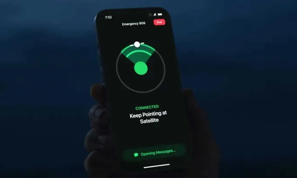
Since launching Emergency SOS via Satellite in 2022, Apple has been expanding its satellite ecosystem. The next major step reportedly involves using satellite networks for more comprehensive data transfer, including map navigation without internet access and sharing photos or small files through satellite connectivity. This would mark a significant upgrade from the existing emergency-only satellite system, making iPhones even more useful in remote areas with no cellular coverage.
Enhanced Navigation Through Satellite-Powered Maps
The upcoming feature is expected to allow iPhone users to access Apple Maps offline in real time via satellite, enabling live navigation even in rural or disaster-prone zones. Unlike traditional offline maps, satellite-powered navigation could offer dynamic updates such as location tracking and route recalculations—powered directly by low-Earth orbit satellites.
Photo Sharing via Satellite Could Redefine Connectivity
Apple’s engineers are reportedly testing a satellite-based photo sharing system that would let users send low-resolution images or small media files even without cellular or Wi-Fi coverage. This innovation could be part of Apple’s long-term strategy to position the iPhone as a global communication hub, resilient to network limitations.
Partnerships and Technological Hurdles
Apple is believed to be collaborating with Globalstar, its existing satellite partner, to expand bandwidth and coverage. However, experts note that implementing real-time data transfers through satellites presents challenges such as high latency, limited throughput, and costly infrastructure. Apple’s approach will likely rely on compression technologies and smart queuing systems to optimize satellite usage.
Potential Timeline and Future Applications
While Apple has not officially confirmed these developments, analysts predict that satellite-powered Maps and photo sharing could debut in upcoming iPhone generations, possibly starting with the iPhone 17 series in 2026. The feature may also be integrated into future Apple Watch and iPad models, aligning with Apple’s broader vision of a fully connected, always-available ecosystem.