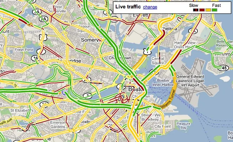
Google Maps has become an essential travel companion for millions worldwide, providing real-time traffic data that helps drivers avoid congestion and reach destinations faster. But the question remains: how does Google know where the traffic is and how fast it’s moving?
The Power of Real-Time Data from Smartphones
The secret lies in the smartphones we carry. When users enable location services, Google anonymously collects GPS signals from millions of Android and iOS devices. These signals provide information about a vehicle’s speed, movement, and location, allowing Google to estimate traffic density on each road segment.
By aggregating this data from numerous users traveling along the same route, Google can determine whether traffic is flowing smoothly or slowing down. The more users with active location sharing, the more accurate the traffic prediction becomes.
AI and Machine Learning at the Core
Beyond GPS data, Google Maps employs advanced AI and machine learning algorithms to process the massive data influx. The algorithms analyze historical traffic patterns, time of day, weather conditions, and even public events that may affect travel. This helps predict not only the current traffic situation but also what’s likely to happen in the next few minutes.
Google’s AI models continuously learn and refine predictions based on new data, which explains how Maps can suggest alternative routes or adjust estimated arrival times dynamically.
Partnerships and Public Data Integration
In addition to user-sourced data, Google collaborates with government agencies and transportation departments to integrate data from traffic cameras, sensors, and road authorities. This allows the system to account for road closures, construction work, and accidents, providing a more comprehensive navigation experience.
Public transport data from city authorities is also synced to inform users about bus or train delays in real-time, bridging the gap between private and public commuting insights.
Privacy and Data Anonymity
One of the key aspects of Google’s traffic mapping is privacy protection. According to the company, all location data used is anonymized and aggregated, meaning it cannot be traced back to individual users. Data is encrypted and processed to remove identifiers, ensuring personal information remains secure.
Predictive Power: The Future of Smarter Navigation
Google Maps’ real-time traffic system is evolving beyond mere observation. The company is experimenting with predictive traffic models, which can forecast congestion before it happens. Using AI-powered simulations and satellite imagery, Google aims to create a fully adaptive mapping system that reacts even before a jam forms.