The NASA-ISRO Synthetic Aperture Radar (NISAR) satellite is preparing for launch, promising to deliver the sharpest-ever radar views of Earth. A product of collaboration between the U.S. space agency NASA and the Indian Space Research Organisation (ISRO), NISAR stands as one of the most ambitious Earth-observation missions to date, combining cutting-edge American and Indian technology.
What Makes NISAR Unique?
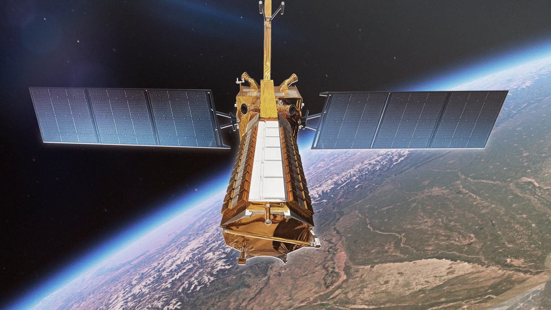
Unlike traditional satellites, NISAR uses dual-frequency radar — L-band (from NASA) and S-band (from ISRO) — enabling it to penetrate clouds, vegetation, and even darkness. This ensures continuous monitoring of Earth’s surface regardless of weather conditions or time of day. The satellite will map the planet with a resolution of just a few meters, creating detailed snapshots every 12 days.
Tracking Climate and Environmental Change
Scientists expect NISAR to play a pivotal role in tracking climate change, glacial melting, deforestation, and soil moisture levels. By observing subtle shifts in land and ice masses, NISAR can provide early warnings for natural hazards such as earthquakes, landslides, and volcanic activity. Its agricultural monitoring capabilities are also expected to help farmers with more accurate crop forecasts.
Boost for Disaster Preparedness
One of NISAR’s most critical applications lies in disaster management. The satellite will monitor land deformation and flooding in near real time, providing governments with actionable data during emergencies. Experts believe this could revolutionize how nations respond to natural disasters, helping save lives and resources.
Symbol of Global Cooperation
The mission highlights the deepening scientific and technological partnership between the United States and India. While NASA provides the L-band radar and satellite integration, ISRO is contributing the S-band radar, satellite bus, and the launch vehicle. The satellite will be launched aboard India’s GSLV Mk II rocket from Sriharikota.
Future of Earth Observation
With a planned mission life of at least three years, NISAR is expected to become the most important Earth-observation tool of the decade. Beyond scientific breakthroughs, it could influence global climate policy, strengthen disaster resilience, and help track humanity’s impact on the planet in real time.